REVIEW · MOAB
Moab: Canyonlands National Park Airplane Tour
Book on GetYourGuide →Operated by Redtail Air Adventures · Bookable on GetYourGuide
Canyonlands looks huge from the ground. In the air, it looks bigger. This Moab Canyonlands National Park airplane tour turns hard-to-reach rock features—like Angel Arch and Druid Arch—into a one-hour “see it all” birds-eye experience over the Island in the Sky, plus the Needles District.
What I love most is getting a guaranteed window seat view with a headset and pilot guide, so you are not guessing where to look. I also like that the flight includes famous and remote arches you would otherwise need serious time and permits to reach on foot. One consideration: it is a short, in-the-air tour, so it is not for people who want to walk around and spend time at viewpoints on the ground.
If you want Canyonlands in a hurry, this is a practical way to do it. In one flight you can track the Colorado and Green Rivers from above, then shift to the Needles District’s pink-and-white spires. Your eyes do the hiking here, and that is exactly the point. The overall experience is also rated very highly, with a 4.8 average from 23 reviews, which lines up with what you are really buying: clear views, careful flying, and a thoughtful route.
In This Review
- Key Points at a Glance
- Entering the Skies Over Canyonlands From Moab
- Price and Value: Why $335 Can Make Sense Here
- Meeting at Canyonlands Field Airport (What to Know Before You Go)
- From the Air: Island in the Sky, Rivers, and the Real Scale
- Upheaval Dome: Seeing a Geologic Feature in One Glance
- Needles District: Pink and White Spires That Look Unreal
- The Arches You Would Never Get to in Time (Angel to Castle)
- Rivers District in Your Frame of Reference
- What the Aircraft Experience Feels Like: Headsets, Seats, and the Pilot Guide
- Who This Moab Canyonlands Air Tour Is Best For
- Small Practical Tips That Make the Flight Go Smoothly
- Should You Book the Moab Canyonlands National Park Airplane Tour?
- FAQ
- What is the duration of the Canyonlands National Park airplane tour from Moab?
- How much does the tour cost?
- Where does the tour start?
- Is pickup or drop-off service included?
- What is included in the price?
- Is food or drink included?
- What should I bring with me?
- Are pets allowed on this tour?
- Is this tour suitable for people with mobility impairments?
- Which arches and areas does the flight cover?
- Where can I find the tour operator name?
Key Points at a Glance
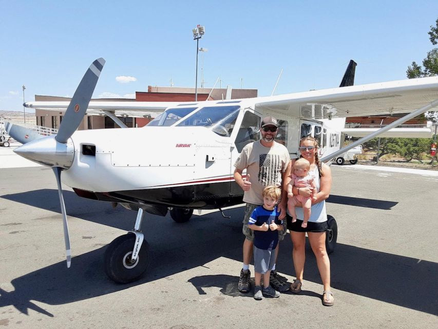
- Window seat for each passenger makes the whole hour about the view, not the wait
- Pilot guide with headsets helps you understand what you are seeing as you fly
- Fly above the Island in the Sky cliffs, where the Colorado and Green Rivers frame the park
- See Upheaval Dome from the air, plus the serpentine drainage cuts in the rock
- The Needles District’s pink and white formations bring you close to arches you cannot realistically hike to
- Includes famous and remote arches such as Angel Arch, Druid Arch, Elephant Arch, Kirk Arch, Wedding Ring Arch, and Castle Arch
Entering the Skies Over Canyonlands From Moab
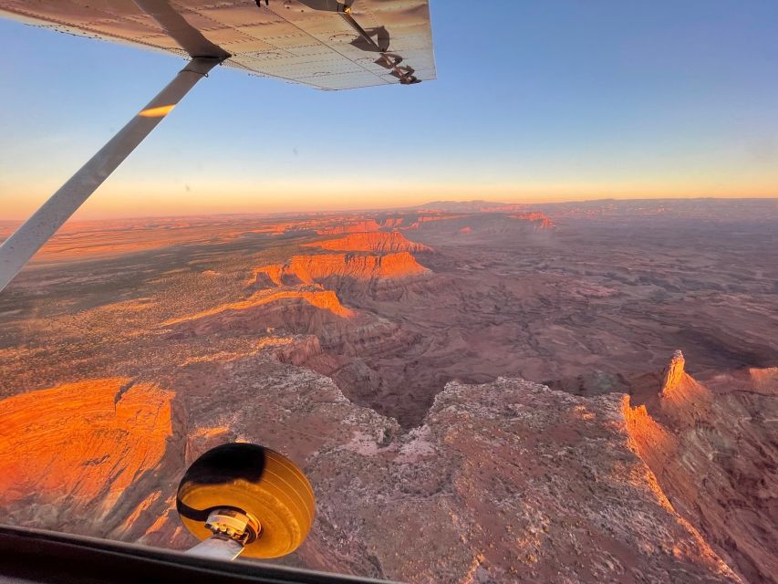
This is a daytime airplane tour that focuses on northern Canyonlands—primarily the Island in the Sky district—with a route that also reaches the Needles District and its most famous, remote arches. You stay in the air the whole time. That is the key to why this works so well for many people: you trade trail time for aerial context.
The duration is about 1 hour, and the ticket price is $335 per person. That sounds like a lot until you compare it to what Canyonlands demands if you want the big sights: serious driving, long hikes (often multi-day), and sometimes permits. From the air, you get the scale and the geology in one concentrated shot.
The vibe here is straightforward. No museum stop. No shuttle scramble. You meet up at the airport, sit down, put on the headset, and let the pilot guide you across Canyonlands’ hardest-to-reach corners.
You can also read our reviews of more tours and experiences in Moab.

Price and Value: Why $335 Can Make Sense Here
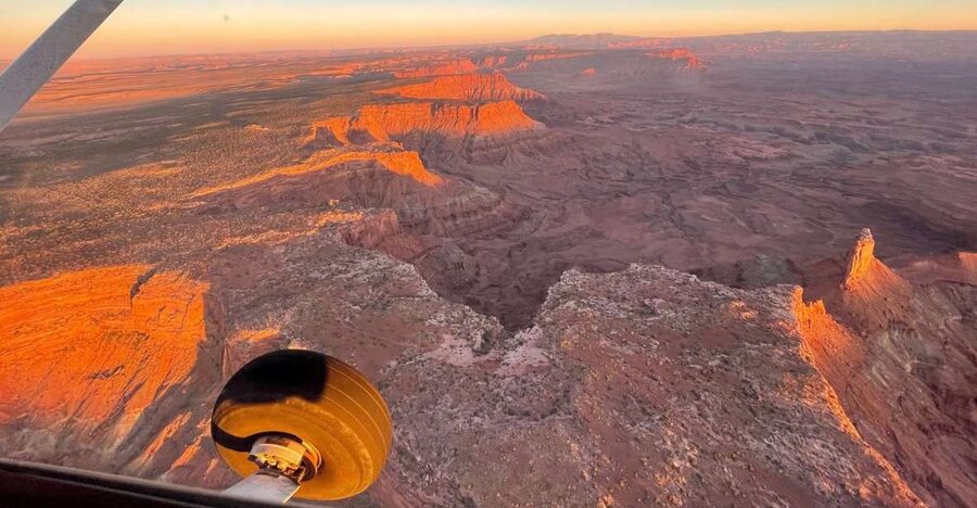
Let us talk value in a grounded way. Canyonlands is remote. Even when you can drive to overlooks, you still miss the “how does this all connect” picture—how a river carved that canyon, how a dome sits relative to the cliffs, or how far those arches really are from each other.
With this tour, you are paying for three big things:
- Time compression: you cover territory that can take days if you are hiking or doing backcountry routes
- Perspective shift: from above, you can see the whole shape of the canyon systems and river corridors
- Access without effort: you get views of arches that are difficult to reach on foot, and the tour gives you an easy “route map” for your brain
For $335, you should expect a tight, scenic hit—not a long wandering day. If you are already planning a hiking-heavy trip to Canyonlands, this can function like the “orientation flight” that helps everything else click once you are back on the ground. If you have limited mobility, limited time, or you simply do not want to chase hard routes, it can be an efficient best-of.
Meeting at Canyonlands Field Airport (What to Know Before You Go)
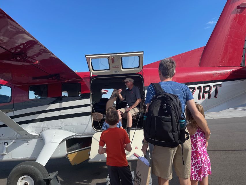
You will start at Canyonlands Field Airport, 110 W Aviation Way, Moab, UT 84532. There is no pickup or drop-off service, so plan your own way to the airport.
The tour ends back at the meeting point, which is convenient. It means you can line this up with your day without worrying about a long transfer afterward.
Bring:
- Passport or ID card
- A jacket (it is a flight, and air can feel cooler than you expect)
Leave at home:
- Pets
- Smoking
- Weapons or sharp objects
- Luggage or large bags
Car seats are not permitted, and children under 2 years may sit on a parent’s lap. Also, this tour is not suitable for people with mobility impairments, so it is worth thinking through comfort and getting in and out of the aircraft before you book.
One more practical note: the tour operator can cancel or modify the flight if needed. There is also a minimum number of people of 2 to operate, and bookings for 1 person may be canceled or modified. That matters most if your schedule is fixed.
From the Air: Island in the Sky, Rivers, and the Real Scale
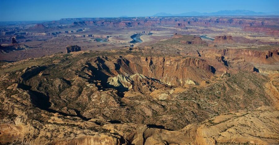
Once you are airborne, Canyonlands stops feeling like a set of roadside stops. It becomes a connected system.
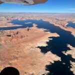
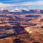
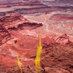
This tour heads above the Island in the Sky, known for cliffs that rise about 1,000 feet above the Colorado and Green Rivers. From the air, you can see both river corridors as they border the district on either side. That framing is hard to fully appreciate from ground-level overlooks, because your view is often cut by distance, terrain, and the angle of the canyon.
Below the cliffs, you can spot serpentine drainage systems—the winding channels that show where water flows through the rock over time. This is one of those details that looks like “just texture” at first. Then you realize the lines are a map of erosion and water movement.
At the southernmost point of the district, the confluence of the two rivers forms the key junction. In the air, that junction reads clearly, and your brain starts to understand why the park feels so massive. It is not just high cliffs. It is a whole geographic engine.
Upheaval Dome: Seeing a Geologic Feature in One Glance
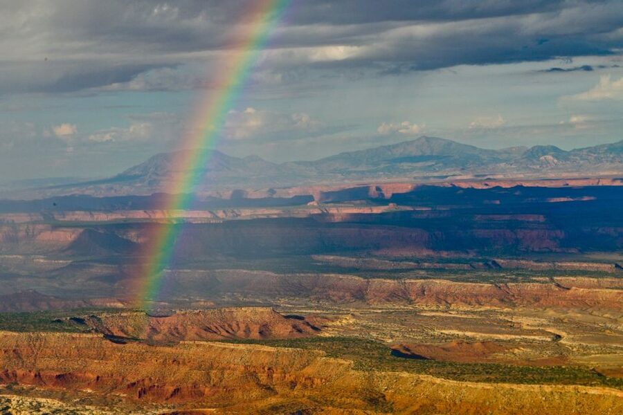
Upheaval Dome is one of Canyonlands’ most talked-about landmarks, and this flight gives you an advantage: you are not trying to guess the dome’s shape from a few distant angles.
As the tour moves along the northern end of the Island in the Sky, you can see Upheaval Dome from above. The dome is what you look for when you want to connect Canyonlands’ “big cliffs and rivers” story to its deeper geologic story. A dome changes how the landscape folds, cracks, and erodes. When you see it as a feature sitting in the bigger terrain, it becomes easier to understand.
If you have ever looked at canyon country photos and thought, I cannot tell how that feature relates to that canyon, this is the antidote. You get a top-down view that helps you place everything in relation to everything else.


Needles District: Pink and White Spires That Look Unreal
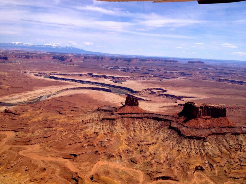
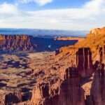
After the Island in the Sky portion, the flight continues to the Needles District, which is famous for colorful spires and cliffs. This part is where the park starts to look almost architectural. You see pink and white bands across many of the spires and rock faces.
From ground-level hikes, you often get limited sightlines. From the air, you see how dense and how scattered the spires are. The Needles District can look like a cluster of odd shapes at first, but the aerial view makes it clear that these spires are part of a larger erosion pattern. It is not random. It is sculpted.
This is also where the flight becomes about the arches. The Needles District includes some of the most remote and famous arches of canyon country, and the tour gives you a rare “all at once” look at their placement.
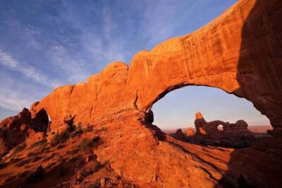
Angel Arch and Druid Arches are key landmarks here. They are extremely beautiful, and they are also the kind of features that many people do not reach easily on a typical trip because the hiking can require major effort and planning.
The Arches You Would Never Get to in Time (Angel to Castle)
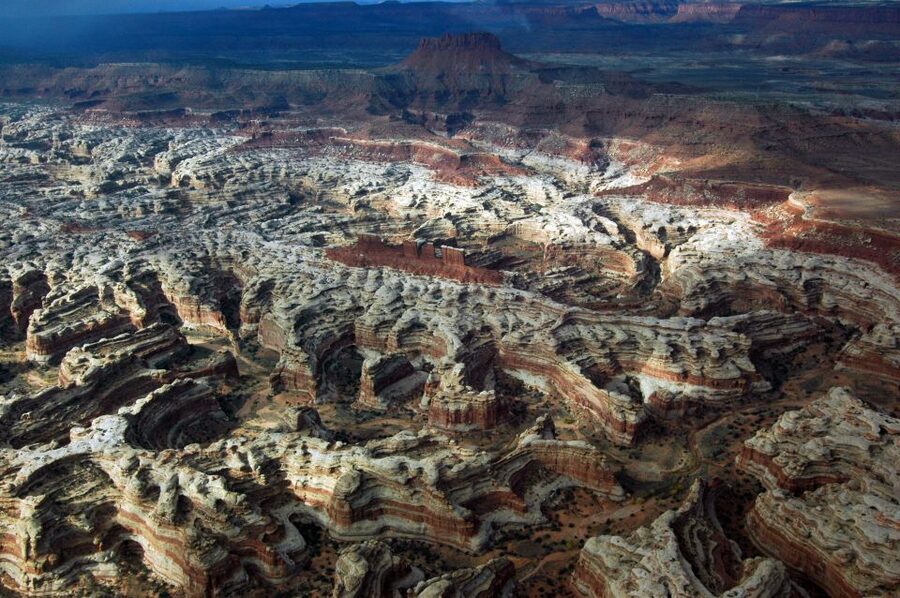
Here is the big reason this tour gets such strong excitement: it shows you arches that are simply hard to reach by hiking. On the ground, some of these routes can mean multi-day travel and permitted visits, and for many people, that is not realistic.
From the air, you get a bird’s-eye view that is different from hiking. You do not walk under the arch and feel the scale up close. Instead, you understand where the arch sits in the broader canyon system, and you see multiple arches in a single sweep like you are touring a sculpture garden from above.
The flight includes:
- Angel Arch
- Druid Arches
- Elephant Arch
- Kirk Arch
- Wedding Ring Arch
- Castle Arch
Angel Arch and Druid Arches are among the best-known landmarks. Then the tour ranges into the backcountry for other arches—Elephant, Kirk, Wedding Ring, and Castle. That mix matters because it gives you a fuller sense of Canyonlands as an arch-producing landscape, not just a couple famous shots.
One extra thing I like about aerial arch viewing: you can see surrounding features that explain how the arch got there. The terrain around an arch can look like a mystery from a distance. From above, you can often read the canyon walls and approach routes more clearly, even without landing.
Rivers District in Your Frame of Reference
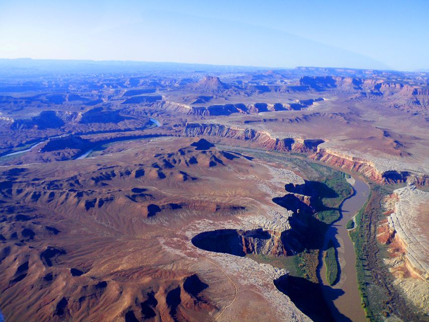
The flight route also references the Rivers District in the broader highlights. Even when you are not landing anywhere, you can still benefit from seeing how the river systems shape the park.
The Rivers District is about big water carving big canyon geometry. If the Island in the Sky is the high table and dramatic cliffs, the rivers side is where the canyon walls show how deep the story goes. Seeing it from above helps you understand why Canyonlands feels like a maze: rivers carve, cliffs hold, and the park’s different districts each “read” differently depending on the angle.
This helps on your whole trip. Once you have seen how the rivers are positioned, you can look at ground-level viewpoints and think, Okay, I know where I am in the bigger system now.
What the Aircraft Experience Feels Like: Headsets, Seats, and the Pilot Guide
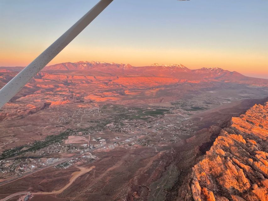
You are in the aircraft for about an hour, and the included setup is simple and very practical: headset plus pilot guide, and a window seat for each passenger.
That window-seat detail is not a small perk. It changes how you enjoy the flight. If you have to share a window or look over shoulders, the experience becomes awkward fast. With your own window, you can focus straight ahead and down at the scenery without playing seat choreography.
The headset helps you hear the pilot guide’s explanations clearly. That matters because the aerial views can be stunning, but without context it can also be a blur of colors and rock shapes. The pilot guide helps connect what you see—Upheaval Dome, district boundaries, river confluences, and arch locations—to what those features mean in Canyonlands.
Comfort is part of the value too. The tour uses a comfortable aircraft for this type of sightseeing flight, and the structure is built for day viewing rather than long-haul fatigue.
One review pointed out the sense of scale from around 5,000 feet above the plateau, and that tracks with what you can feel during an aerial tour: you get a strong “this is enormous” perspective right away.
Who This Moab Canyonlands Air Tour Is Best For
This tour fits best if you want Canyonlands views without turning your whole trip into a rugged expedition.
You will likely enjoy it if:
- You have limited time in Moab but want a big-picture view of Canyonlands
- You want to see remote arches without needing multi-day permitted hikes
- You prefer stunning geology from a seat over long walks and uncertain trail conditions
- You want an orientation flight that makes your ground plans easier to understand
It is also a strong match for people who enjoy photography and want a sense of the overall park layout. From the air, you can plan shots based on geometry: rivers, cliffs, and arch placements.
It is not a match if you want to hike to arches or if mobility limitations make getting into and seated in the aircraft difficult.
Small Practical Tips That Make the Flight Go Smoothly
A few things can make your one-hour flight more comfortable and more enjoyable:
- Dress for cooler air with your jacket. Even in a warm Moab day, flight temperatures can feel different once you are up and moving.
- Keep your bag situation simple. The tour does not allow luggage or large bags, and the aircraft setup is not meant for bulky carry-ons.
- Bring your ID or passport. They require it for the experience.
- Arrive on time for the airport start at Canyonlands Field Airport. There is no pickup, so you are doing the timing yourself.
Should You Book the Moab Canyonlands National Park Airplane Tour?
If you are deciding between this flight and spending the day hiking or off-roading, I would book this tour if your top goal is seeing hard-to-reach arches plus understanding Canyonlands geography fast. The “from above” perspective is not just a novelty. It is a practical way to connect the park’s districts—Island in the Sky, Needles, and the river country—into one clear mental map.
You should skip it or think twice if you want ground access and time right at viewpoints. This is a flight experience. You get incredible views and context, but you do not get the full hiking payoff.
My bottom line: for $335, you are buying time, perspective, and access to arches that many people cannot realistically reach. If that matches your trip style, this is an easy yes.
FAQ
What is the duration of the Canyonlands National Park airplane tour from Moab?
The tour lasts about 1 hour.
How much does the tour cost?
The price is $335 per person.
Where does the tour start?
The meeting point is Canyonlands Field Airport, 110 W Aviation Way, Moab, UT 84532.
Is pickup or drop-off service included?
No. Pickup or drop-off service is not included.
What is included in the price?
Included are a pilot guide, headsets, and a window seat for each passenger.
Is food or drink included?
No. Food or drink is not included.
What should I bring with me?
You should bring a passport or ID card and a jacket.
Are pets allowed on this tour?
No, pets are not allowed.
Is this tour suitable for people with mobility impairments?
No, it is not suitable for people with mobility impairments.
Which arches and areas does the flight cover?
It covers the Island in the Sky, including viewpoints such as Upheaval Dome, then continues to the Needles District, including Angel Arch and Druid Arches, plus remote arches including Elephant Arch, Kirk Arch, Wedding Ring Arch, and Castle Arch.
Where can I find the tour operator name?
The experience provider is Redtail Air Adventures.